This image shows a reprojected image of the panorama Following the Educational Trail. The projection is “stereographic down”.

 Show on map
This is the blog of the PanoTwins
This image shows a reprojected image of the panorama Following the Educational Trail. The projection is “stereographic down”.

 Show on map
Recently we had equinox and as we are living on the northern hemisphere it was spring equinox. Traditionally this is the time when we go out and shoot a panorama for the World Wide Panorama (WWP). An event where we regularly contribute since 2005. The theme of the event was “paths”. Thinking about “paths” I finally thought of educational trails (Lehrpfad in German literally translates to educational path) which are very common in Germany. I did a search on educational trails in Frankfurt and found an educational trail of the faculty of geosciences/geography at the University of Frankfurt/M.
As I followed the trail I did several sphericals. The one I finally chose for the event shows a lovely spot near the old village center of Niederursel a district of Frankfurt/M.

You can view the panorama “Following the Educational Trail” on the pages of the World Wide Panorama (WWP).
 Show on map
Every seven years the Schäfflertanz is performed during the carnival. Schäfflertanz translates to “Dance of the coopers”. It is said that in the year 1571 the coopers started dancing on the streets to bring the inhabitants of Munich back onto the streets after a pest epidemic. Nowadays this habit is performed all over Upper Bavaria.
[pano file=”https://www.panotwins.de/wp-content/panos/MMatern_20120211_1369_SchaefflerTanzSamstag.xml” preview=”https://www.panotwins.de/wp-content/panos/MMatern_20120211_1369_SchaefflerTanzSamstag.jpg”]
 Show on map
This image shows a reprojected image of the Tunnel View in Yosemite Valley. The projection is “transverse mercator”.

 Show on map
This image shows a reprojected image of the view of Monument Valley near Cly Butte. The projection is “stereographic down”.

 Show on map
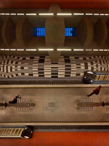
This image shows a reprojected image of the subway station Oberwiesenfeld in Munich. The projection is “transverse mercator”.

When I first saw this reprojection it suddenly reminded me of the computer game Frogger (sic, I’m gettin’old…).
 Show on map
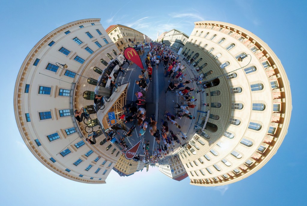
This image shows a reprojected image of the Streetlife Festival 2011, Ex+Hop Contest. The projection is “stereographic”.

 Show on map
This image shows a reprojected image of the subway station Candidplatz in Munich. The projection is “stereographic”.

This panorama shows the standing wave at the Reichenbach bridge during the Isar river high-water on June 5th 2010. Lots of spectators watch the surfers and kayakers that try to ride on it. The wave is only present during very high water.
[pano file=”https://www.panotwins.de/wp-content/panos/MMatern_20100605_7650_HochwasserReichenbachTimeLapse.xml” preview=”https://www.panotwins.de/wp-content/panos/MMatern_20100605_7650_HochwasserReichenbachTimeLapse.jpg”]
 Show on map
A juggler on a 4m high unicycle is juggling with fire.
[pano file=”https://www.panotwins.de/wp-content/panos/MMatern_20110910_4135_FeuerJongleur.xml” preview=”https://www.panotwins.de/wp-content/panos/MMatern_20110910_4135_FeuerJongleur.jpg”]
 Show on map