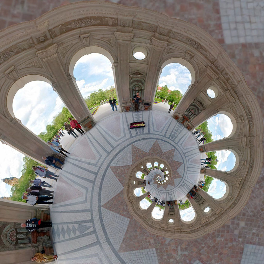
This is from my 2019 calender either the June or the December page.
This stereogrpahic reprojection was generated from a spherical panorama I took at an arena polo event at the Munich Airport.

See the interactive version on 360 Cities .
This is the blog of the PanoTwins
Panoramic images, that were taken with the help of a so called ‘Philopod’. A little string with a small weight hanging on the lens and replaces a real tripod. For more information see the inventor’s homepage here.
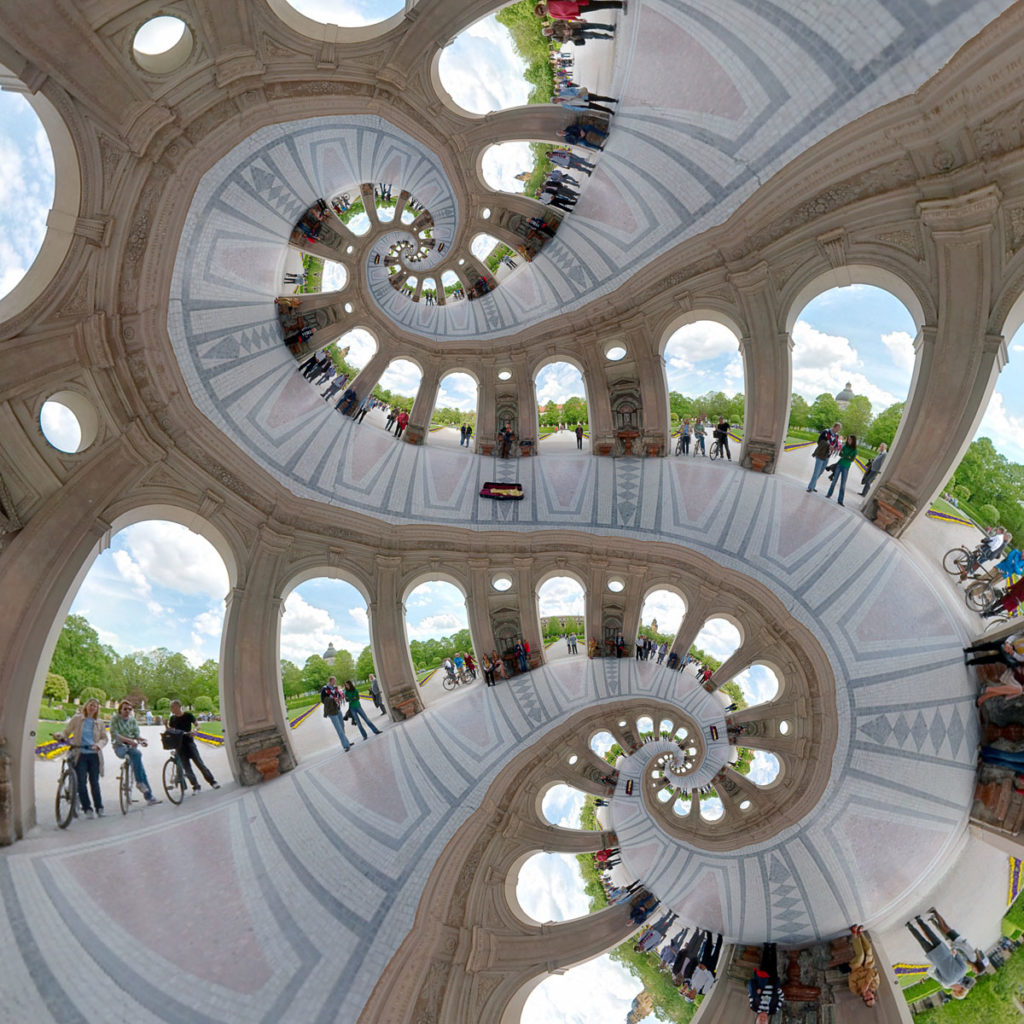
This is from my 2019 calender either the June or the December page.
This stereogrpahic reprojection was generated from a spherical panorama I took at an arena polo event at the Munich Airport.

See the interactive version on 360 Cities .
This is from my 2019 calender either the June or the December page.
This stereogrpahic reprojection was generated from a spherical panorama I took at an arena polo event at the Munich Airport.

See the interactive version on 360 Cities .
This panorama shows the atrium of the Bavarian Ministry of Justice in Munich.
[pano file=”https://www.panotwins.de/wp-content/panos/MMatern_20140107_1741_Justizpalast_Halle.xml” preview=”https://www.panotwins.de/wp-content/panos/MMatern_20140107_1741_Justizpalast_Halle.jpg”]
This panorama is a tribute to Joseph von Fraunhofer (* March 6, 1787 – † June 7, 1826) a German physicist and optician. He was born in Straubing and died in Munich. This panorama shows his tomb in Munich. I shot this panorama at his tomb almost eight years ago!
[pano file=”https://www.panotwins.de/wp-content/panos/MMatern_20121110_2879_FraunhofersTomb.xml” preview=”https://www.panotwins.de/wp-content/panos/MMatern_20121110_2879_FraunhofersTomb.jpg”]
 Show on map
In 2012 the German Unity Day has been celebrated in Munich. The celebrations include a showcase of the German federated states (Bundesländer) and also other institutions like the parties of the Bavarian parliament. In the courtyard of the Bavarian Ministry of the Interior was an exhibition showing the many task of the ministry. This image shows a reprojected version of this panorama I made in the courtyard.
In 2012 the German Unity Day has been celebrated in Munich. The celebrations include a showcase of the German federated states (Bundesländer) and also other institutions like the parties of the Bavarian parliament. In the courtyard of the Bavarian Ministry of the Interior was an exhibition showing the many tasks of the ministry.
[pano file=”https://www.panotwins.de/wp-content/panos/MMatern_20121003_1858_TagDerDeutschenEinheitUeberBrunnen.xml” preview=”https://www.panotwins.de/wp-content/panos/MMatern_20121003_1858_TagDerDeutschenEinheitUeberBrunnen.jpg”]
 Show on map
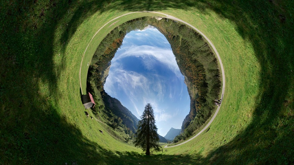
The name of the alp you see here roughly translates to “Hindmost Colossus Alp”. It is found in the Retterschwang valley near Bad Hindelang. Cycling from Bad Hindelang brings you from 800m to the alp at 1451m in about 10km distance. You should use a mountain bike with the appropriate gears!
[pano file=”https://www.panotwins.de/wp-content/panos/MMatern_20120801_0071_Entschenalpe.xml” preview=”https://www.panotwins.de/wp-content/panos/MMatern_20120801_0071_Entschenalpe.jpg”]
 Show on map
North of Bad Hindelang arises the Hirschberg. It is a mountain, that is 1500m high. Near the cross is a beautiful viewpoint to the valley of Bad Hindelang, Bad Oberforf and also towards Oberjoch.
[pano file=”https://www.panotwins.de/wp-content/panos/MMatern_20120731_0034_GipfelkreuzHirschberg.xml” preview=”https://www.panotwins.de/wp-content/panos/MMatern_20120731_0034_GipfelkreuzHirschberg.jpg”]
 Show on map
This image shows a reprojected version of this panorama.

This panorama shows Bad Hindelang from the viewpoint Nusche, that’s just halfway to the urban district of Gailenberg. It is a sort of an experiment because it is one of my first hand held shots with the Sony NEX-5 camera using the 16mm pancake lens and the fisheye converter. I took eight pictures around, two zenith and two nadir shots. I took eight images, because with only a Philopod setup this is easier to shoot than only six shots around, which would give you enough overlap for the lens combination. The original equirectangular image had a size of 12000×6000 pixels.
[pano file=”https://www.panotwins.de/wp-content/panos/MMatern_20111002_5810_NuscheZwischenKastanienHerbst.xml” preview=”https://www.panotwins.de/wp-content/panos/MMatern_20111002_5810_NuscheZwischenKastanienHerbst.jpg”]
 Show on map