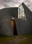
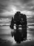
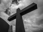
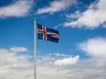
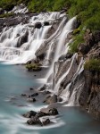
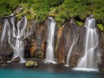
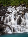
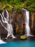
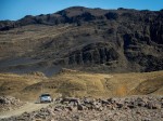
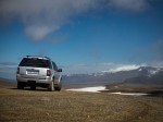
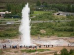
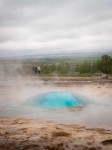
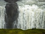
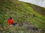
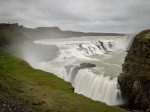
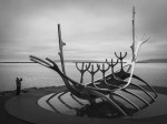
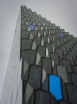
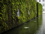
This little gallery shows some of the icelandic stereotypes which we encountered on todays journey.
Tag: Iceland
Glaumbær Farm (Museum)
The Glaumbær farm is a museum that gives you a really interesting perspective on how the poeple lived in former times in Iceland.

 Show on map
Hvítserkur – A Rock Formation in the Sea
This somehow weird looking rock formation is called Hvítserkur which translates to “white nightdress”. However to me this basalt rock definitely looks more black than white!
[pano file=”https://www.panotwins.de/wp-content/panos/MMatern_20130618_3120_HvitserkurSandBank.xml” preview=”https://www.panotwins.de/wp-content/panos/MMatern_20130618_3120_HvitserkurSandBank.jpg”]
 Show on map
Driving through Kaldidalur to Hraunfossar
Today we were driving from Laugarvatn through Kaldidalur to Hraunfossar and Barnafoss.
Driving through Kaldidalur to Hraunfossar – Mountain Panorama
This view is towards þórisjökull while driving through Kaldidalur.

 Show on map
Visiting Gullfoss and thermal area Geysir
This gallery shows some images from our trip to Gullfoss and the thermal area near Geysir. We also met again some panographers from this years IVRPA-meeting.
Standing at geysir Strokkur – again (Iceland)
The geysir Strokkur is located in the geothermal area of the Great Geysir in the valley of Haukadalur.
[pano file=”https://www.panotwins.de/wp-content/panos/MMatern_20130616_2260_Geysir_StrokkurEruption.xml” preview=”https://www.panotwins.de/wp-content/panos/MMatern_20130616_2260_Geysir_StrokkurEruption.jpg”]
 Show on map
View over the Blue Lagoon
The Blue Lagoon (Bláa Lónið in icelandic) is a geothermal spa in the south western part of Iceland. It is considered as one of the most visited tourist attractions in Iceland.

 Show on map
Öxarárfoss on a cloudy day (Iceland)
Öxarárfoss is a waterfall in Iceland and very close to one of Iceland’s well known tourist attractions: Þingvellir. This is a National Park and the area where around 930 poeple from Iceland started to gather for their first Parliament. They did this there until 1798. The bed of river Öxarár has been changed to supply the gathering masses with water in times of their gathering.

 Show on map
Taking a walk in Reykjavík
This gallery shows some images from our day in Kevlavík and Reykjavík.
